Tuesday, 23rd January, 2024
- Day 3/3
- 100%
After dodging some heavy rain, the final day sees two cool caves, some very windy bays, and a lot of walking.
After dodging some heavy rain, the final day sees two cool caves, some very windy bays, and a lot of walking.
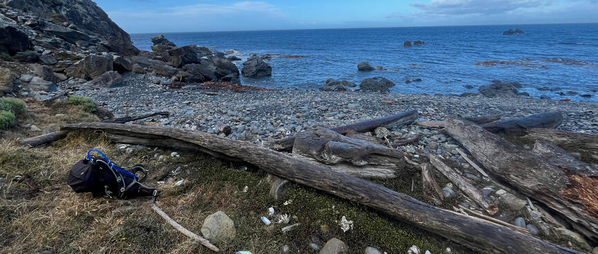
Camped behind a long length of driftwood, I thought I had pretty good protection from the wind.
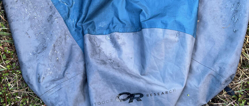
But in the early hours the cold forced me to layer on my rain gear. That probably did something, but it didn't wrap me in the loving embrace that a proper sleeping bag would have.
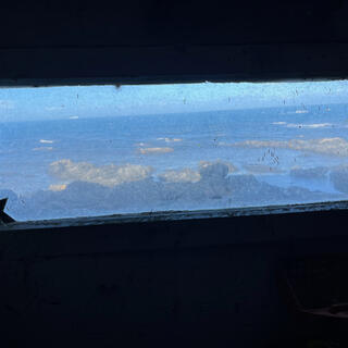
Nonetheless I was appreciative of my uninsulated coffin when a biblical downpour arrived just before dawn.
Thankfully the rain was gone by the time I had to break camp.
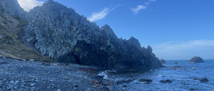
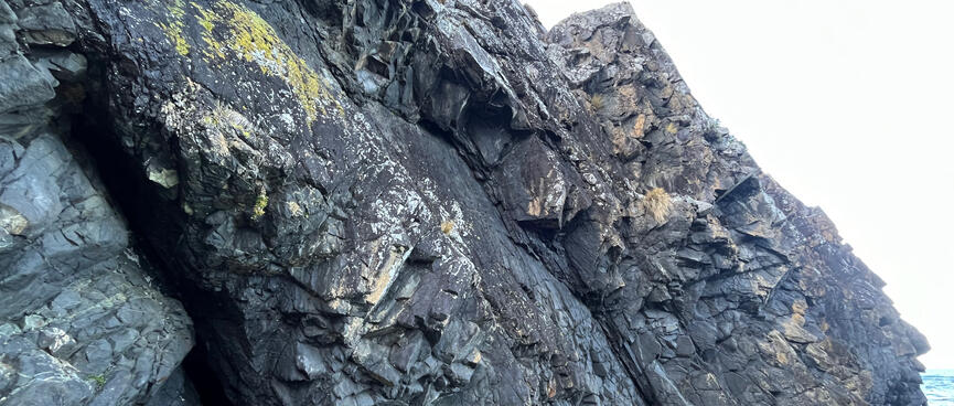
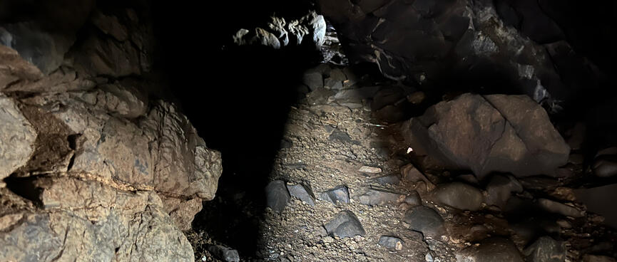
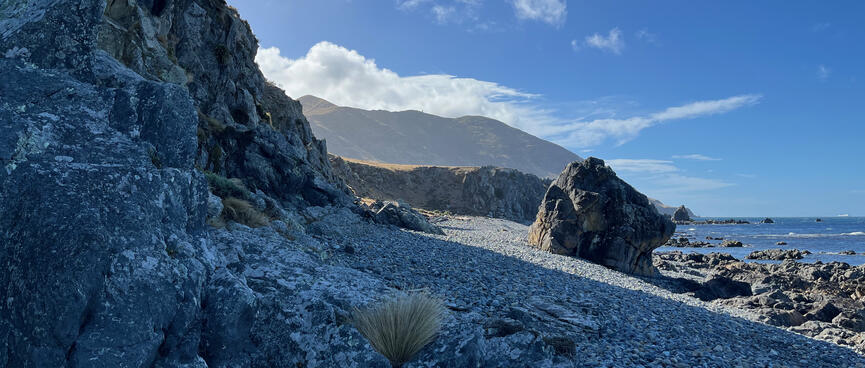
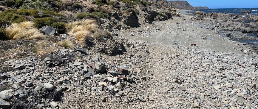
The first barrier of the day turns out to be easily passable by going straight through it.
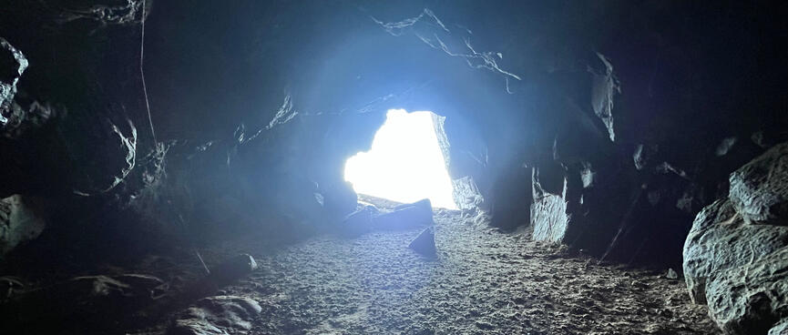
Removing my pack I squeeze through a gap in the rock, emerging in a hollow chamber with a low ceiling.
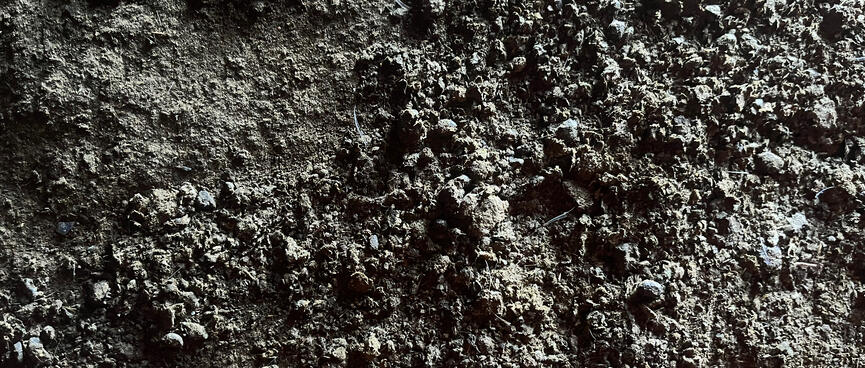
It has an earthy smell and I suspect that the well-trodden carpet conceals an element of excrement.
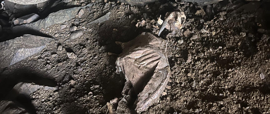
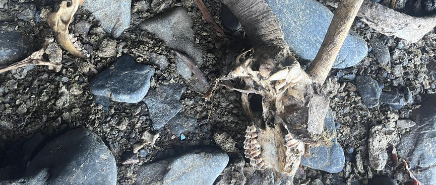
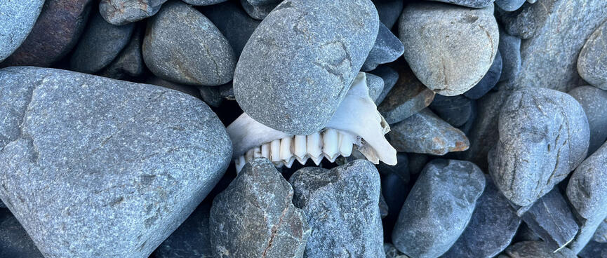
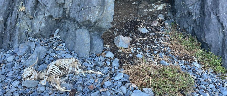
Like a private room with subdued lighting, the cave is also popular with animals seeking a safe point of departure to their next best life.
Horns on skulls suggest goats, elsewhere piles of bones and feathers give little away. I'm generally afraid of (dead) things without souls and elect not to enquire further.
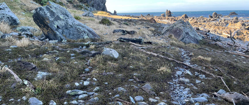
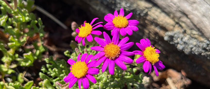
Back on the trail, grass is starting to become more of a feature.
I favour its springy underlay over the unrelenting rocks and shingle.
Cicada song ducks under gutsy gusts of wind. In the distance, competing ferry lines face off on the blue horizon.
When I stop to rest, I notice that the lower part of my leg is numb near the Peroneal nerve. I haven't worn these Salomon X Ultra Mid hiking boots since 2019 so it's possible that they're no longer a good fit for me, though they feel far more cushioned than the bikepacking shoes which I'm used to.
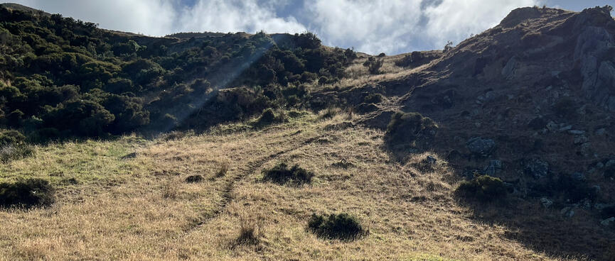
A path heads up a nearby hill. The tidy grass appears to be mown but I'm not going up any more hills unless I absolutely have to.
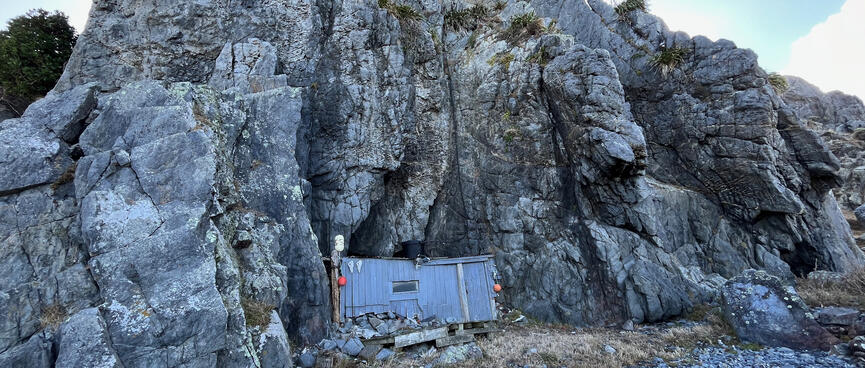
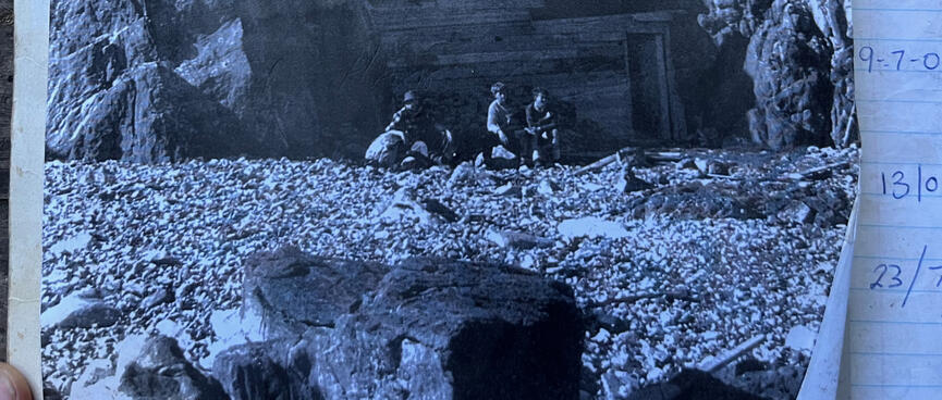
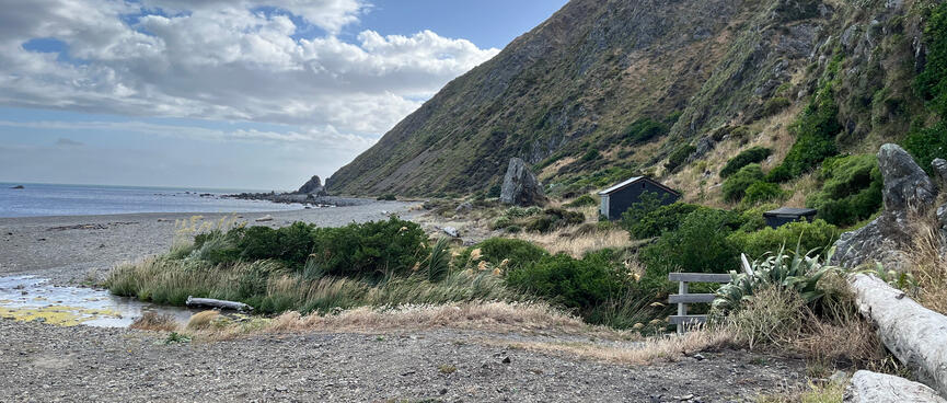
And then before I know it I am at the entrance to Nugent's Cave.
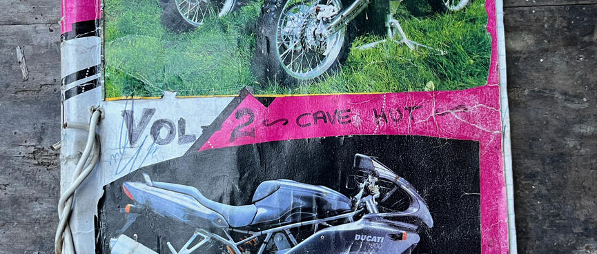
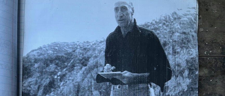
Nugent Walsh, the man, the artist. I find a photo of him in the visitors' books (below) looking dapper as he sketches from the beach.
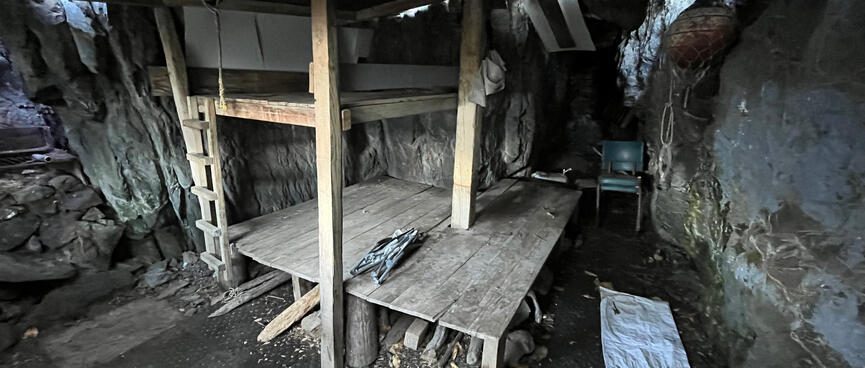
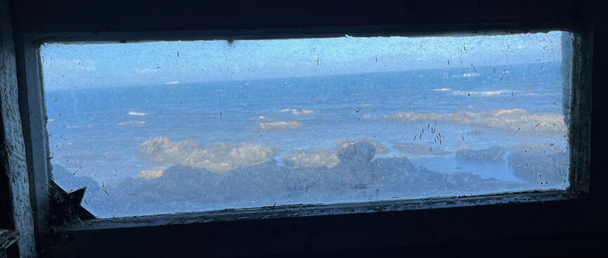
Following his appearance, his cave is rather more civilised than I expected.
I expected: a cave with a wooden door, maybe some flat parts in the interior for setting up a mattress.
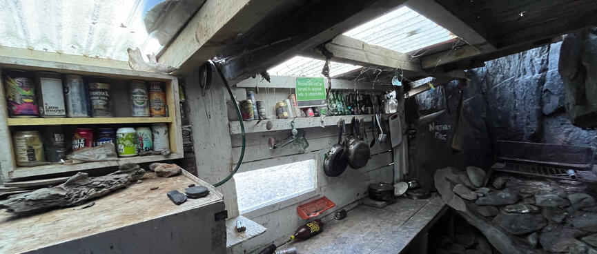
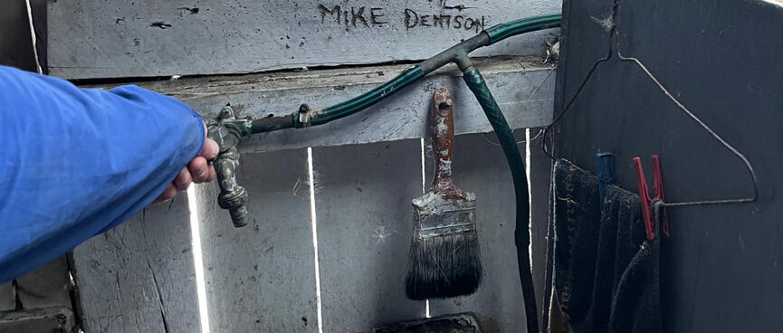
I got: a cave with a wooden door, bunk bed bases for four, a mirrored cabinet, a functional kitchen, skylights, a window, a deck and even a stocked pantry lest one stumble in here culinarily unprepared.
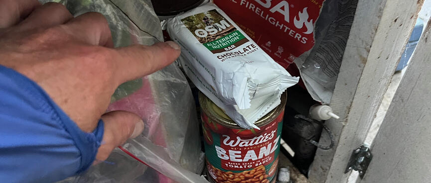
I add a couple of my OSMs to the pile of food and drop my sandal collection nearby, hopeful that the lone Teva will be reunited with its rightful owner.
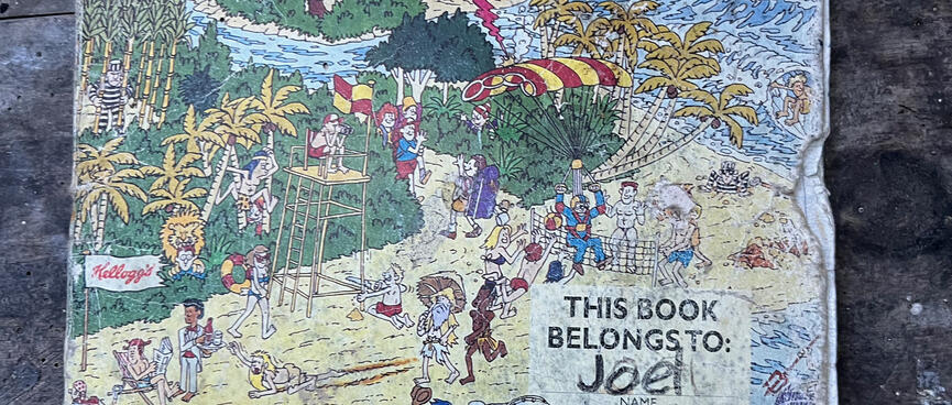
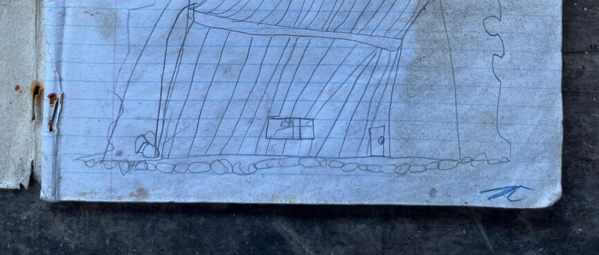
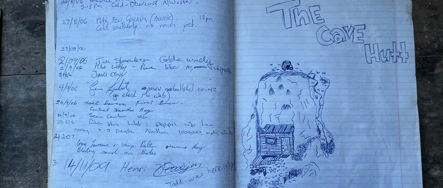
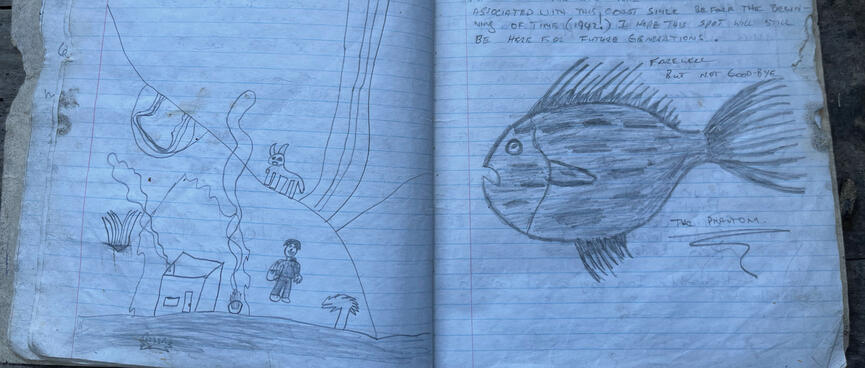
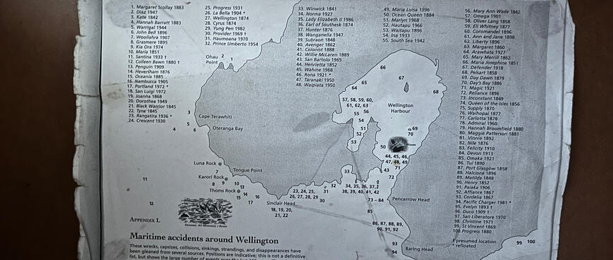
The pantry also contains dual visitors books.
Spanning 2.4 decades, they contain historical photos and a multitude of messages.
Many of the visitors seem to fit the stereotype of the quintessential Kiwi bloke - someone who:
Still, without the hard work of the people who built and maintain this place, it wouldn't be here for others like me.
A quote from 2013 encapsulates the efforts put in by core maintainers:
COME AROUND TO CHECK CAVE HUT AFTER BIG AS SOUTHY 200 KMS WINDS STUFFED THE COAST LINE ALL AROUND WELLINGTON. SEA BEEN INSIDE, HAD TO CLIMB DOWN THE FIRE PLACE HOLE IN THE ROOF TO GET IN, ROCKS AND SH*T BLOKING DOOR FROM OPENING INSIDE. ALL THE FIREWOOD GONE FROM THE FRONT AND WASHED UP ALONG THE BEACH AS WELL AS THE DECKING OUT THE FROUNT OF THE HUT F***! LOTS OF HOUSE WORK TO DO INSIDE HA HA. BUT THE HUTS ALL GOOD YEAAAA.
LEE D & TANE D, VISITOR BOOK, 26.6.13
The 'D' stands for Denison and that name pops up a lot. Lee, Joel, Jessie, Tane, Grant, Kaea, Nicholas and Kerry, they form a large family, or several generations thereof. They appear to be the owners of this place or the defacto guardians thereof.
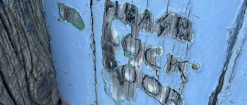
And just like the hut's namesake they're enthusiastic about creating cave art too, regular hut portraits providing welcome relief from the written word.
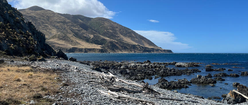
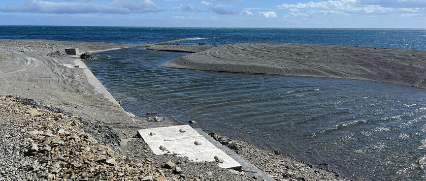
Leaving the hut, I soon round the corner into Oteranga Bay where the wind is fierce.
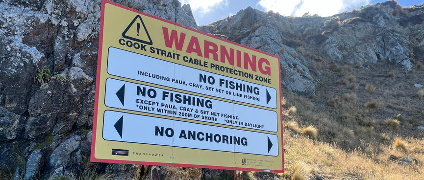
Oteranga Bay is where a submarine power cable comes ashore. It links the North Island to the South, connecting Oteranga Bay with Fighting Bay in the Marlborough Sounds.
The Cook Strait Cable (aka the HVDC Inter-Island link (opens new window)) allows North Islanders to access hydro power from the South, and South Islanders to access thermal energy from the North.
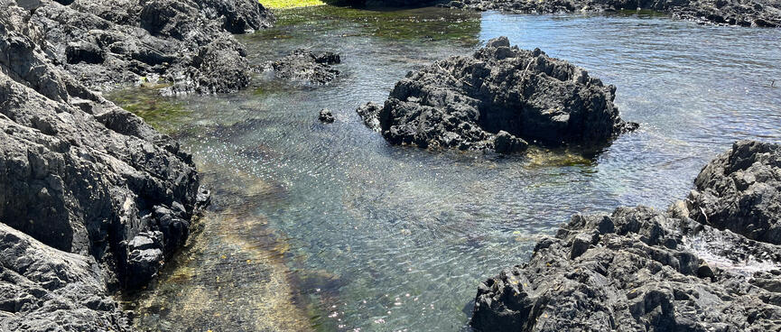
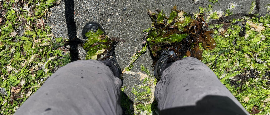
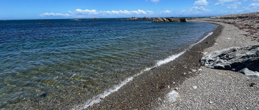
The tide is out and the rocky point is circumnavigated via a short walk through the sea, which involves wading through thick green seaweed.
A few drab buildings give nothing away, but repeated warning signs and the wild wind discourage a dip in this otherwise attractive bay.
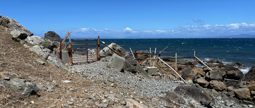
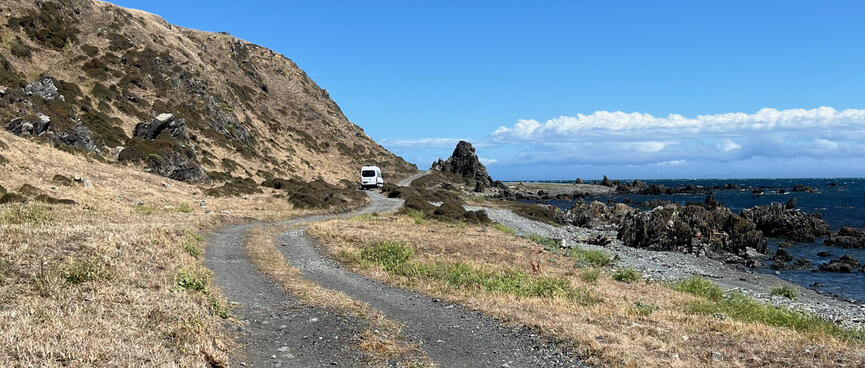
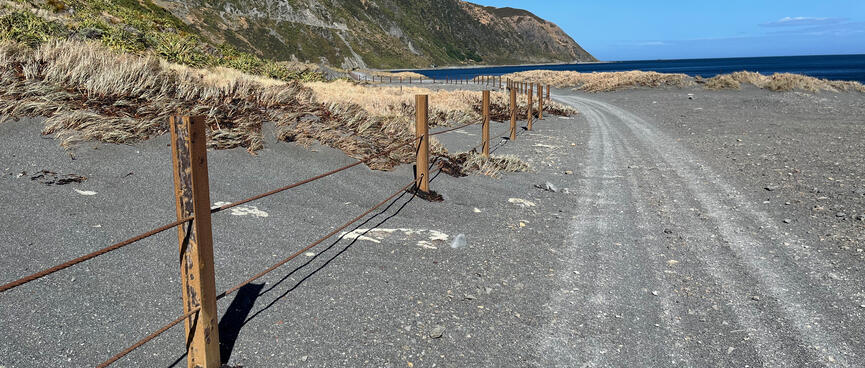
At the southern end of Oteranga Bay there's a rusty metal gate.
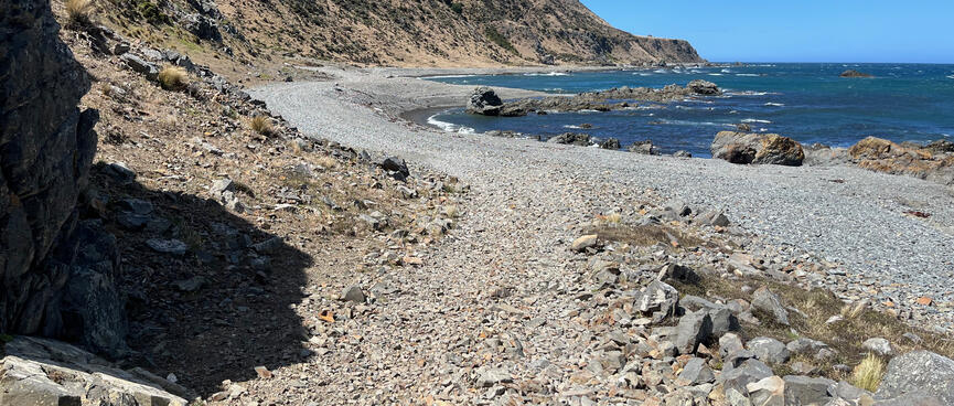
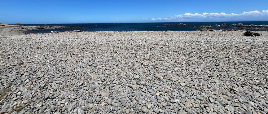
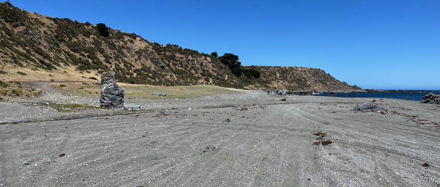
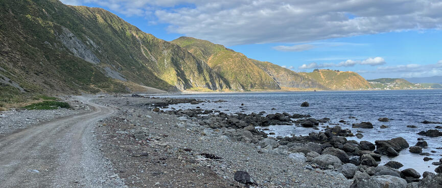
My anticipation is high and soon the promised road begins. However it's no state highway, the variable surface alternating between thick pebbles and packed sand, slowing the progress of drivers and walkers alike.
The noisy wind continues to harrass both me and the sea, whipping the water into perpendicular patterns. I don headphones and savour the sonic solace.
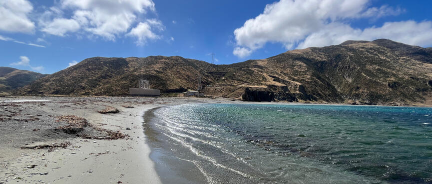
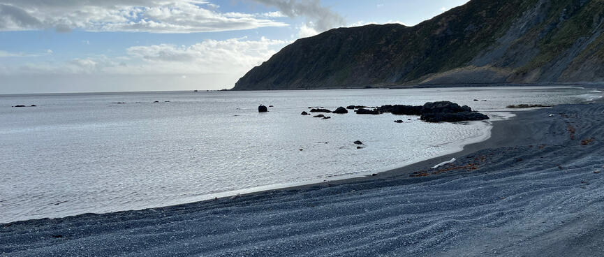
At Cave Bay the sand is as hot as the sun.
I set my things down in the shade of the rocky hillside, hoping that no-one needs to drive past as the roadway consumes the narrow beach.
With no one around I decide that there's no point in getting changed and go in au naturel. As I emerge refreshed, a Cook Strait ferry passes by and I wonder whether it is armed with tourist binoculars and whether they are currently trained on my position.
A pair of passing gulls aren't bothered either way and I reflect that the ones out here have probably never seen humans in their natural swimming habitats, nor experienced the accompanying lure of fish and chips.
After Cave Bay I pass a house on the hill, perhaps the old Terawhiti homestead. I've no idea whether it's inhabited or purely historical and decide to give it a miss.
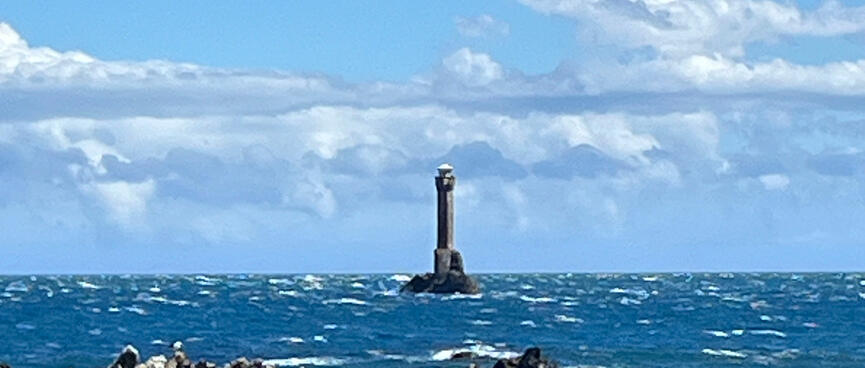
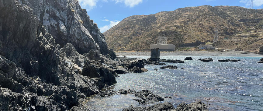
At Tongue Point, there are old foundations and a strange off-shore structure that has been baffling me since it first sprung into view.
Standing tall above the angry white waves, it looks like a small watch tower, perched on top of a proud concrete pedestal. Perhaps it contains an aboveground dungeon, or maybe it's a penal colony for the most socially unacceptable, serial offenders that require the brute force of nature to hold them back?
The structure teeters on a tiny rock barely twice its width. It seems impossible that anyone could build anything there, let alone a tower engineered to withstand the full fury of a Wellington southerly.
Passing by, nothing is explained and it remains a question unanswered. A passing campervan's passengers might be more enlightened, as they stop in front of it and excitedly take turns posing for photos. The station manager asked me to greet anyone I met on the way, but they seem far too self-occupied to tolerate an inquisition, so I leave them to it.
I later learn that this is Karori Rock and site of the Karori Light, a now disused lighthouse which warned ships about this very treacherous stretch of shoreline.
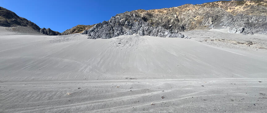
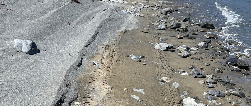
Leaving Tongue Point behind, the grey sand is hard going and I pull out my old Gobi trick of walking in the imprints left by vehicles' wheels.
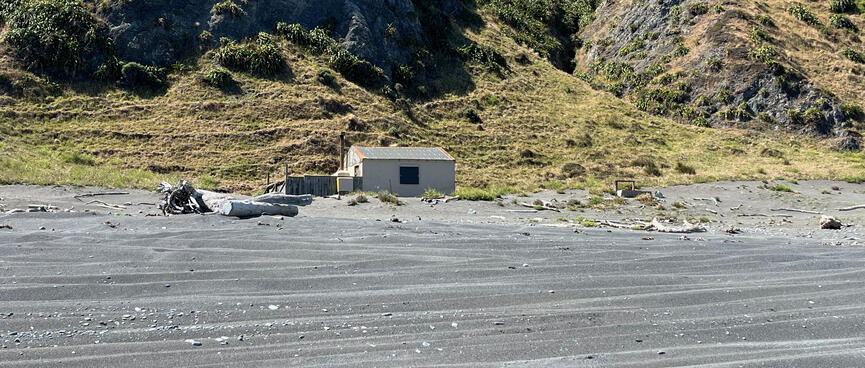
Soon I come across some baches on the beach and then a whole community perched on the hillside overlooking Karori Stream.
Flags on one of the buildings wave me in and I fantasise that it's an off-grid pub serving hard-earned cold ones.
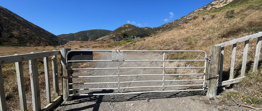
Walking through a shallow part of the stream my progress is checked by a locked gate and a sign, which reads:
No Public Access. No LYCRA. No Bikes. This is not a Public Road. When you come to a lock note it means NO ACCESS.
Charming, guess a cold beer is out of the question then.
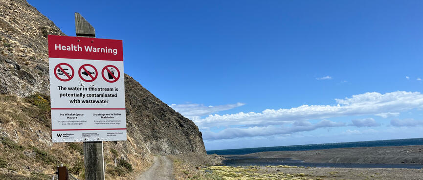
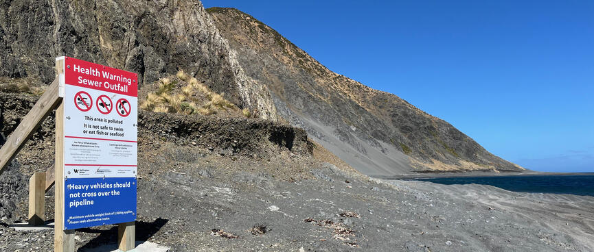
Adding to the place's apparent edginess, the Karori sewer terminates here and there are warnings not to swim, or consume anything from the stream or sea.
I later learn that this is Kinnoull Station - Wellington's best kept secret (opens new window). An ecological reserve, it's certainly not giving off any green vibes. I mean, what's lycra got to do with it?
Further down the coast, a rustic fence keeps drivers off the natives. Then, more baches, these ones distinguishing themselves by novelty items - an old sign for the Tandoor King restaurant and upturned gumboots on traffic cones. Perhaps they're markers for paying guests or the unfortunate postie.
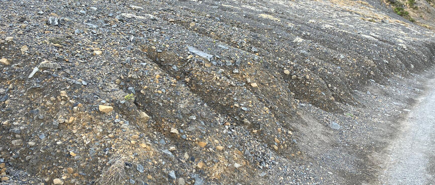
Then the track passes below a steepish gravel slope, reminiscent of Tilicho Lake landslides, before passing by landscaped houses that wouldn't be out of place in suburbia, a place of Children and pets at play.
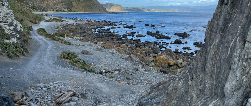
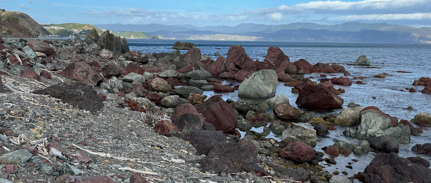
Passing the KEEP OUT sign for Long Gully, I duly arrive at Red Rocks.
I'm surprised to see an absence of celebrity seals in attendance today.
However, there are tourists of varying nationalities. In one group, two speak French and a third is afraid to speak any language because apparently he doesn't speak English.
This has never stopped me from butchering a foreign language in order to get a greeting out, but each to their own.
In jandals, shorts and t-shirts they are heading in the opposite direction and seem underdressed, but I soon see their van and realise that they're only at the start of their walk.
A TRAIL sign indicates a possible way up to the old gun emplacements at Sinclair Head. I had planned to stay there tonight, as Te Kopahou Reserve (opens new window) by the trailhead is campervan-only (sigh), but I'm hanging out for an uninterrupted sleep and equally paranoid about sleeping in if I got one.
I'm tired but so close so I'll push on.
At Ōwhiro Bay, I pass the trailhead without ceremony and I'm done!
Two bus-stops on opposite sides of Happy Valley Road apparently lead in the same direction.
Confused, I enquire with a headphone-clad Gen Z who looks annoyed that I've entered his sonic bubble. However I learn that one of the buses goes to Brooklyn and the other goes to the Railway Station.
While wondering whether the Railway Station bus also goes to Brooklyn, the bus arrives and I soon realise that it is taking a very wayward route in getting there, as if it aims to please everyone, simultaneously pleasing no one.
After a dizzying sequence of wrong turns and u-turns, the number 29 bus eventually spits me out at Riddiford St where I gratefully alight.
Crossing the road, I am there mere minutes before my connecting bus arrives. I feels like my reentry to civilisation has synchronised our swatches and boosted my bus-luck, but the flipside is that someone else gets a bum deal - namely the woman who falls from the bus while trying to alight there. Teens crane their necks to get a better view and excitedly question one another as to whether she is okay (but not her). Thankfully her partner is with her and helps her up. I wonder which smarts more right now - her leg or her pride? The Ride Like Your Aunty’s Watching (opens new window) bus etiquette campaign doesn't say anything about rubber-necking, so I guess the yoof found a loophole.
It feels weird to be on public transport, on a weekday, while wearing the stench of a weekend warrior. It reminds me of the time I was stuck in the Mongolian capital for 3 weeks, with only one change of bike-touring clothes to ensure that I didn't blend in. However, being on the bus feels infinitely preferable to adding a further 13 km of coastal walking to today's 18.5 km total, so I sit back and try to enjoy the ride.
Arriving home, my flatmates welcome me back and scold me for disappearing off the face of the earth.
I had actually mentioned it, plus my father knew and I was carrying an activated Garmin inReach, so telling the flatties specifics seemed somewhat redundant.. but it's good to know that they care.
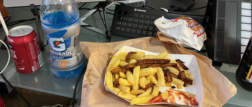
Continuing my lucky streak, both Huckle & Co and the Four Square are still open, so cold drinks and fried food are the order of the day. Yay!!